
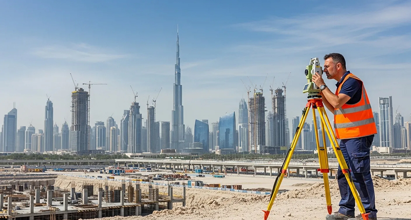
Land Survey
Before anything is designed or built, someone has to measure the ground properly. We survey plots of every size, from a single villa site to large master plans, and hand over clean drawings your consultant can use straight away.
- Coordinates on the local grid (DLTM in Dubai)
- CAD drawings ready for your designer
- Quote within 24 hours
Land survey services

Topographic survey
A topographic survey shows the ground as it is today: levels, slopes, existing buildings, roads, trees, fences, manholes and anything else on or around the plot. Architects and civil engineers use it as the base for their design, so getting it right early saves redesign later.
- Spot levels and breaklines across the site
- Existing features, kerbs and services covers
- Delivered in AutoCAD with a clear legend
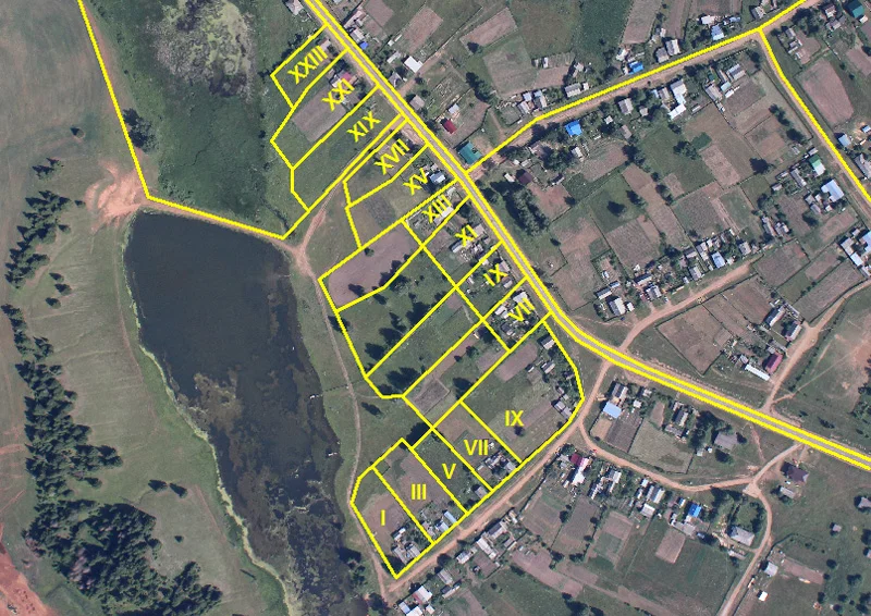
Boundary survey
If you are buying, fencing or building close to the edge of your plot, you need to know exactly where the boundary sits. We check the plot corners on site against the affection plan and the coordinates on record, and point out any difference before it becomes a dispute with a neighbor.
- Corners checked against the affection plan
- Encroachments and offsets shown clearly
- Useful before fencing, purchase or design
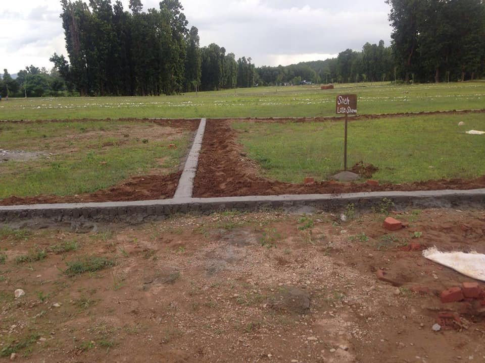
Plot demarcation
Demarcation is the physical marking of your plot corners on the ground, using the approved coordinates. It is often the first thing a contractor asks for when they mobilize, and it removes guesswork about where the site starts and ends.
- Corner pegs or markers placed on site
- Based on approved plot coordinates
- Short report with a sketch of each point
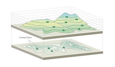
Contours and ground levels
For grading, drainage and earthworks you need reliable levels. We produce contour plans and level grids that let your engineer work out cut and fill, plan stormwater flow and set finished levels that make sense for the site.
- Contour plans at the interval you need
- Leveling runs and level grids for cut and fill
- Tied to a known benchmark
Long sections, cross sections and road surveys
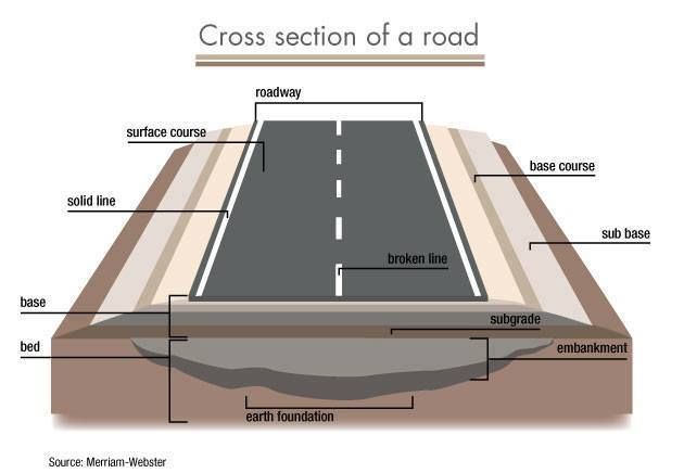
Roads, drainage channels and pipelines need levels along their length, not just across a plot. We survey long sections and cross sections at the spacing your designer asks for, so they can work out grades, earthworks and drainage falls with real numbers.
- Long and cross sections at set intervals
- Road and drainage corridor surveys
- Ready for design and quantity take-off
As-built land survey
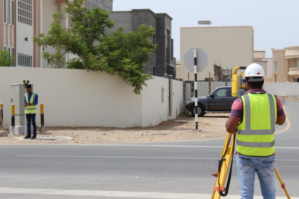
Once work is finished, an as-built survey records what was actually built: building footprint, boundary walls, external works and levels. It is usually needed for completion, handover or simply to update your records.
- Compares what was built with the approved design
- Footprints, walls, paving and levels
- Drawings in the format your authority or consultant asks for
Who needs a land survey?
Developers
Base data for master planning, design and authority submissions.
Contractors
Demarcation, levels and setting out before and during work.
Plot owners
Clear boundaries before you buy, fence or start building.
Consultants
Accurate topo and level data to design against.
How a land survey works with us
- 1
Share your plot details
Send the affection plan or plot number and tell us what the survey is for.
- 2
Quote and booking
We confirm scope and price, then book a site date that suits you.
- 3
Fieldwork
Our team surveys the site with calibrated GNSS and total stations.
- 4
Drafting and checks
Data is processed, drawn and checked by a second engineer.
- 5
Handover
You receive the drawings and a short report, and we stay available for questions.
Common questions
How long does a land survey take?
A typical villa plot is surveyed in one day, with drawings ready a few working days later. Larger sites take longer, and we give you a clear timeline with the quote.
What do I need to send before the survey?
The affection plan or plot number is usually enough to start. If you have a site plan or design drawings, send those too so we can match the survey to what your consultant needs.
Which coordinate system do you use?
We work on the local grid of the emirate, for example DLTM in Dubai, so the data lines up with authority records and your design files.
Do you cover sites outside Dubai?
Yes. We take on land surveys across the UAE. Travel to remote sites is included in the quote so there are no surprises later.
What format are the drawings in?
Drawings come in AutoCAD (DWG) with a PDF copy. If you need another format, tell us at the start and we will set it up that way.
Talk to our team
- Tel+971 4 352 3678
- Mobile+971 58 582 2220
- Emailinfo@precise.ae