
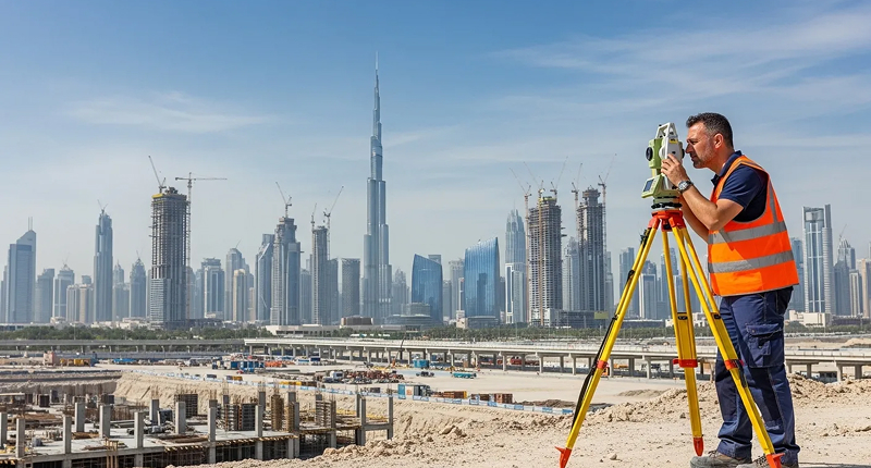
Land Survey
Topographic, boundary and setting out surveys that give your designers and contractors ground data they can trust.
View ServiceField surveys for land, buildings, construction, utilities and marine projects across the UAE, from the first site visit to the final drawing.
Topographic, boundary and setting out surveys that give your designers and contractors ground data they can trust.
View Service
Measured and as-built surveys of existing buildings, with accurate floor plans, elevations, sections and area statements.
View Service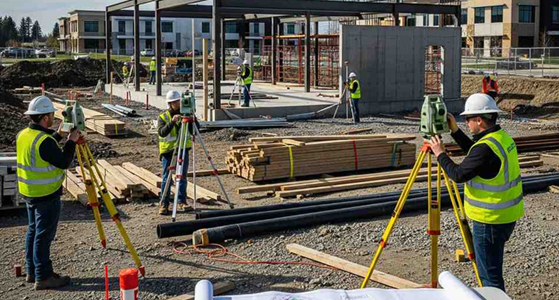
Setting out, level control and progress checks that keep every stage of construction where the design says it should be.
View Service
Drone surveys that capture large or hard to reach sites quickly, with accurate orthomosaics, surface models and volumes.
View Service
Detection and mapping of buried services so you can dig, design and plan around them safely.
View Service
Millions of measured points in a single visit, turned into point clouds, drawings and 3D models of existing buildings and plants.
View Service
Accurate field data and mapping that support environmental studies, monitoring programs and project approvals.
View Service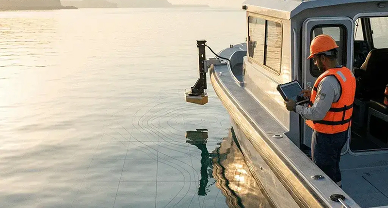
Bathymetric and seabed surveys for ports, marinas, coastlines and dredging projects using single beam and multibeam systems.
View Service
GNSS static observations, precise leveling and control point networks that every other survey on your project can rely on.
View ServiceTell us about your site and our engineers will recommend the right solution.