
Geospatial Solutions
CORS networks, digital addressing, LiDAR mapping and cadastral data for municipalities, GIS centers and large projects.
01
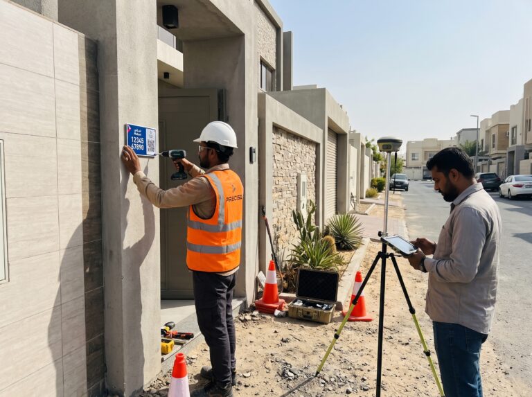
Digital Addressing
Makani plate production, coordinate checks and installation, so every building entrance can be found quickly and correctly.
Explore Solution
02
CORS & VRS Networks
Reference station hardware, network setup and ongoing monitoring that keep RTK corrections reliable for every user.
Explore Solution
03
LiDAR & SLAM Mapping
Mobile LiDAR and SLAM scanning that captures roads, buildings and indoor spaces as detailed 3D point clouds, even where GPS cannot reach.
Explore Solution
04
Cadastral & Base Mapping
Parcel checks, geodatabase validation and base map updates that keep land records accurate and consistent.
Explore SolutionPlanning a geospatial system?
Tell us about your site and our engineers will recommend the right solution.