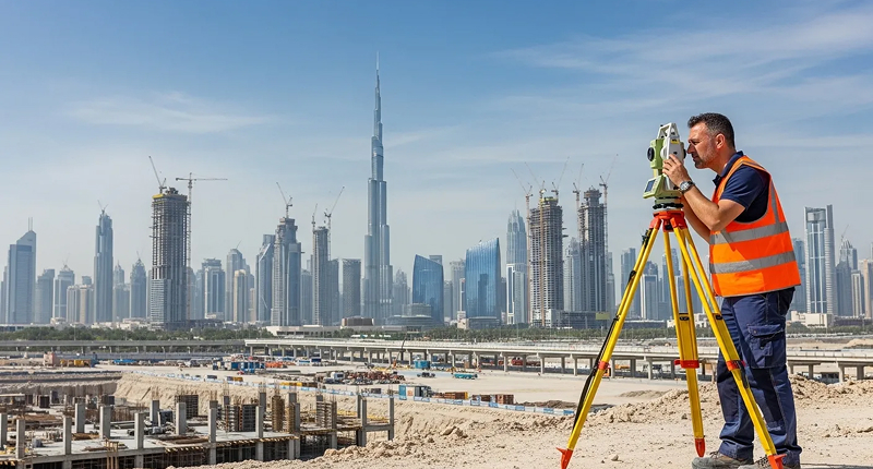
Land Survey
Topographic, boundary and setting out surveys that give your designers and contractors ground data they can trust.
View Service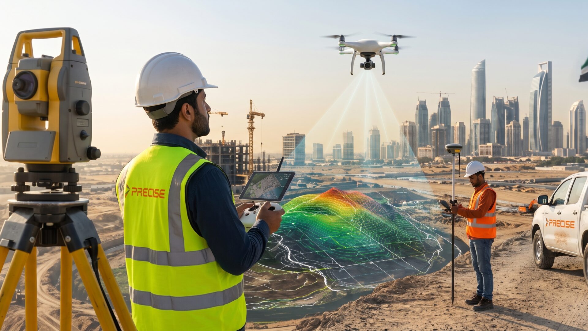

Topographic, boundary and setting out surveys that give your designers and contractors ground data they can trust.
View Service
Measured and as-built surveys of existing buildings, with accurate floor plans, elevations, sections and area statements.
View Service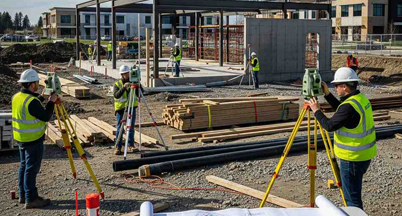
Setting out, level control and progress checks that keep every stage of construction where the design says it should be.
View Service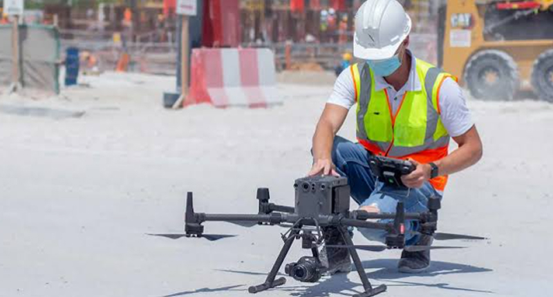
Drone surveys that capture large or hard to reach sites quickly, with accurate orthomosaics, surface models and volumes.
View Service
Detection and mapping of buried services so you can dig, design and plan around them safely.
View Service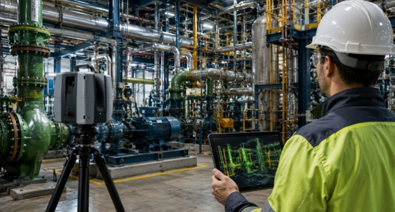
Millions of measured points in a single visit, turned into point clouds, drawings and 3D models of existing buildings and plants.
View Service
Accurate field data and mapping that support environmental studies, monitoring programs and project approvals.
View Service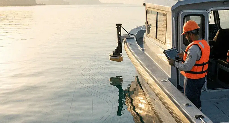
Bathymetric and seabed surveys for ports, marinas, coastlines and dredging projects using single beam and multibeam systems.
View Service
GNSS static observations, precise leveling and control point networks that every other survey on your project can rely on.
View Service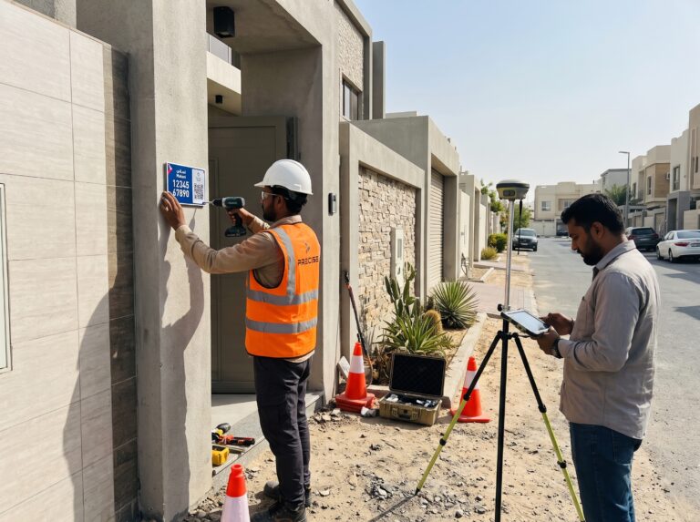
Makani plate production, coordinate checks and installation, so every building entrance can be found quickly and correctly.
Explore Solution
Reference station hardware, network setup and ongoing monitoring that keep RTK corrections reliable for every user.
Explore Solution
Mobile LiDAR and SLAM scanning that captures roads, buildings and indoor spaces as detailed 3D point clouds, even where GPS cannot reach.
Explore Solution
Parcel checks, geodatabase validation and base map updates that keep land records accurate and consistent.
Explore Solution
Design, supply, installation and commissioning of a new CORS and VRS network, plus upgrades to the existing reference stations.
Read Case Study
Review, verification and unification of cadastral survey data across the Emirate of Fujairah.
Read Case Study
Manufacturing and installation of Makani address plates across residential, commercial and industrial areas in four emirates.
Read Case StudyWe understand the requirement, define the scope and plan how the work will be done.
Our team mobilizes the right equipment and captures data on site with GNSS, LiDAR, UAV or conventional methods.
Field data is processed into drawings, models and datasets in the coordinate system your project needs.
Instruments, control and data are checked independently against project and authority standards.
We share the results for review and address comments before final issue.
Validated, well documented outputs delivered on time and ready to use.
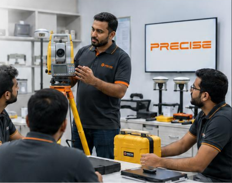
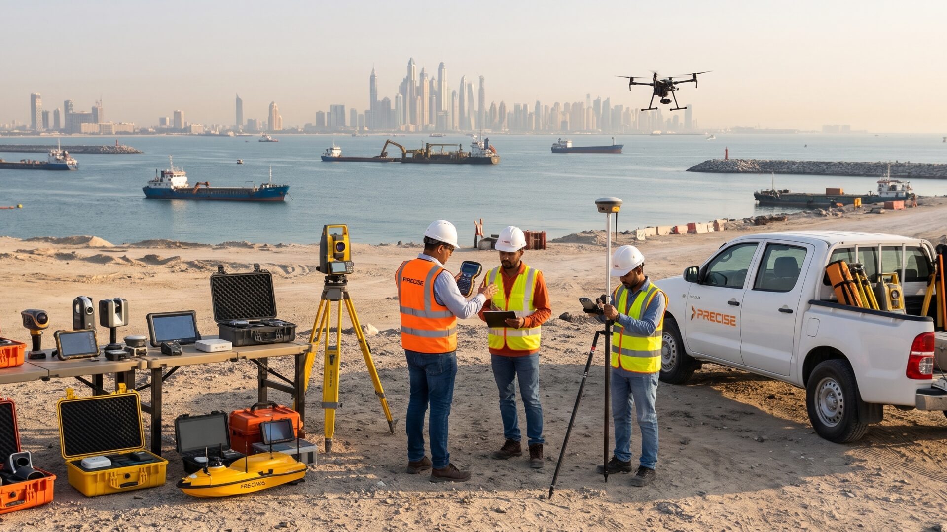
Setup, training, remote support and coordination of calibration, repairs and warranty for Precise GNSS, CHCNAV, SOUTH, JAVAD and HESAI equipment.
Tell us about your site or call our team, and an engineer will get back to you.
Consult with an EngineeriLiYA Tower 2, Office No. 201 (2nd Floor), Al Qusais Industrial Area 3, Dubai, United Arab Emirates
Musaffah-37, Office No. 43, Abu Dhabi, United Arab Emirates
Al Ittihad Building II, Office No. 112, Umm Al Quwain, United Arab Emirates
Plot No. 8, Old Airport, Office No. 01, Rawalpindi, Pakistan